
The archaeological site of Ename tells the story of a thriving medieval trade settlement that is replaced by a Benedictine abbey. This story has been unravelled by 30 years of excavations and 80 years of historical studies and is shown in the local heritage centre and at the archaeological site in several ways.
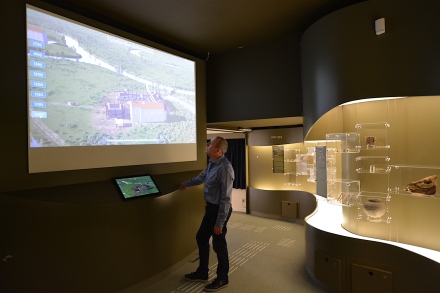
The Ename Timeline shows the evolution of the site in connection with the excavated objects (photo: Daniel Pletinckx)
One application is called Timeline showing this story in an interactive 4D way (i.e. 3D + time). We have updated this application by adding the 1015 period (showing the trade settlement that precedes the abbey) but also by adding the current archaeological site through drone imagery.
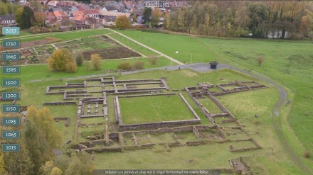
The updated Timeline application includes a 3D view of the current archaeological site (image: Visual Dimension bvba)
To obtain the appropriate images, a drone flight was planned to visualise the site from the same viewpoints as the virtual reconstructions, so that the virtual and real images fit together seamlessly.
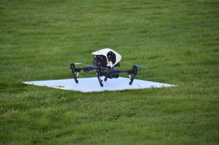
The DJI drone ready to take off (photo: Daniel Pletinckx)
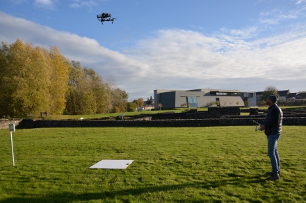
The drone taking off for another recording session of the archaeological site (photo: Daniel Pletinckx)
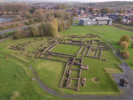
High-resolution drone view of the archaeological site (photo: Rpaswork Drone Solutions)
By recording site images that fit with the existing virtual reconstruction images, an interactive visualisation of the site allows the visitors to experience and explore the evolution of the site. As the abbey has been preceded by an Ottonian trade settlement, we also have added the virtual reconstruction of the site around 1015.
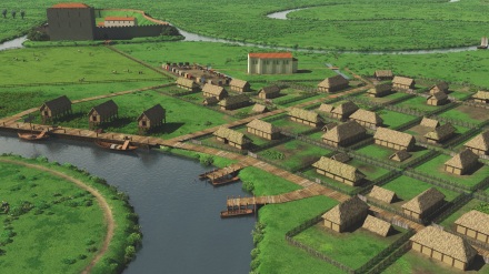
The Ename trade settlement around 1015 (image: Visual Dimension bvba)
In this way, the Ename Timeline visualises not only 1000 years of evolution of a site but links also all available historical and archaeological information (I-symbol) and the excavated objects (excavation symbol) on display around the application.

The Timeline application links the virtual reconstruction of Ename in 1015 to context information and objects on display (image: Visual Dimension bvba)
